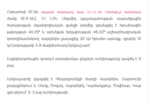
A magnitude 3.8 earthquake was recorded 26 kilometers northeast of the city of Vardenis in Armenia on August 10, according to the Seismic Protection Territorial Service of the Ministry of Internal Affairs.
The earthquake occurred at 11:11 PM local time (7:11 PM GMT). Armenia’s seismological network recorded the earthquake at geographic coordinates 40.25° north latitude and 46.02° east longitude.
According to the official information, the earthquake had a focal depth of approximately 10 kilometers.
The intensity of the underground tremor reached 5 points in the epicentral area.
The earthquake was also felt in several communities of Gegharkunik Province. Residents reported feeling the tremor in the cities of Vardenis and Martuni, as well as in the villages of Sotk, Tsovak, Vardenik, Karchaghbyur, Tsovinar and Kut.
In these communities, the intensity of the earthquake was estimated at 2-3 points.
The information was recorded and reported by the seismological network of Armenia’s Seismic Protection Territorial Service under the Ministry of Internal Affairs.